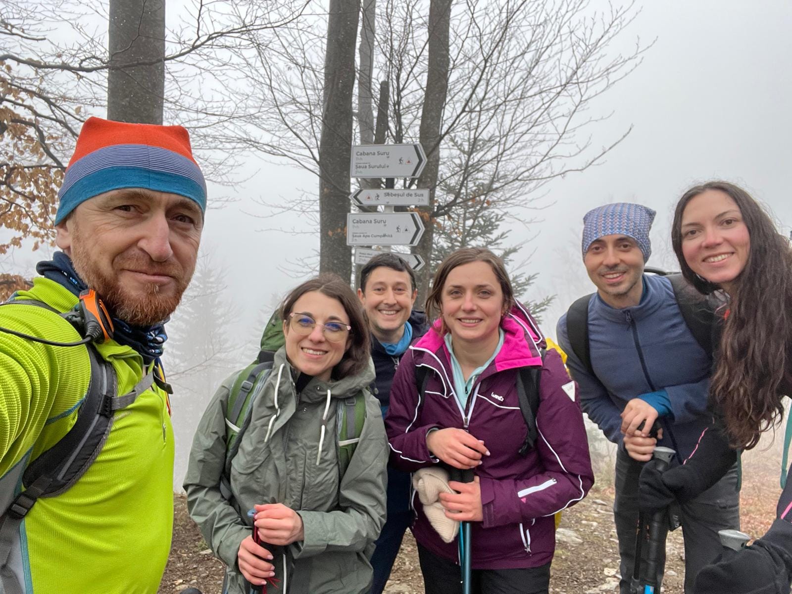
Hiking in Sebesul de Sus – Best Trails in Romania's Hidden Gem
Discover Romania Series - Hiking Guide: Sebeșu de Sus to Cabana Suru
Start Point
- Location: Bridge at the exit of Sebeșu de Sus village, following the Moașa Valley stream.
- Google Maps Link: Sebeșu de Sus Trailhead
End Point
- Location: Cabana Suru (Suru Chalet), situated at approximately 1,425 meters elevation.
- Google Maps Link: Cabana Suru
Trail Details
- Distance Approximately 8.5 km (one way)
- Elevation Gain Around 1,011 meters
- Estimated Duration 3.5 to 4 hoers
- Difficulty Moderate
- Trail Marking Red triangle on a white background
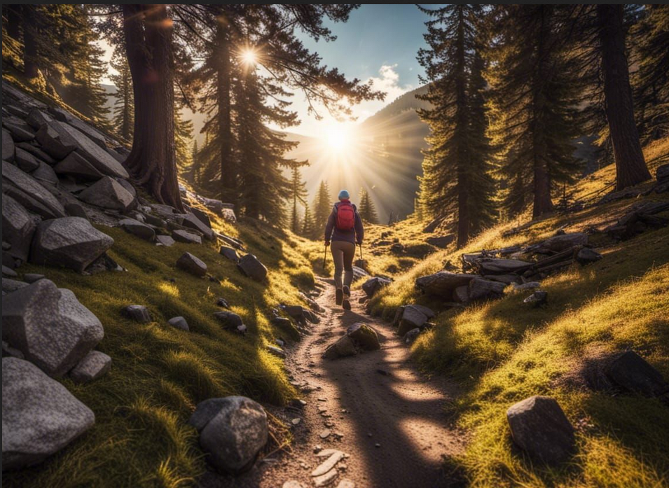
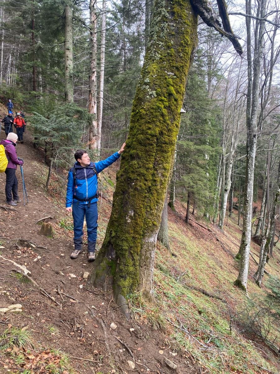
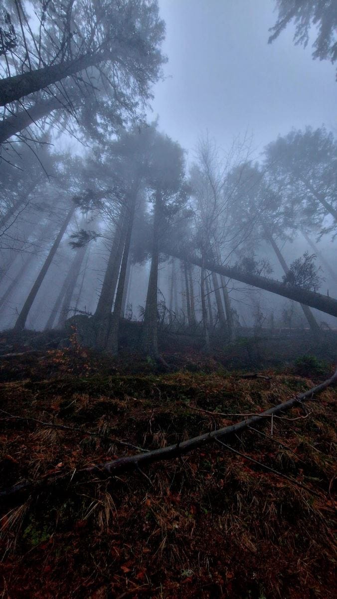
- Route Description The trail follows the Moașa Valley, offering scenic views, including waterfalls and forested paths, leading up to Cabana Suru.
Contact Information
- Cabana Suru:
- Phone +40 745 123456
- Email contact@cabana-sur.ro
- Website www.cabana-suru.ro
Noe: Please verify contact details before planning your visit, as they may change


Member discussion